Upload date
All time
Last hour
Today
This week
This month
This year
Type
All
Video
Channel
Playlist
Movie
Duration
Short (< 4 minutes)
Medium (4-20 minutes)
Long (> 20 minutes)
Sort by
Relevance
Rating
View count
Features
HD
Subtitles/CC
Creative Commons
3D
Live
4K
360°
VR180
HDR
1,073,393 results
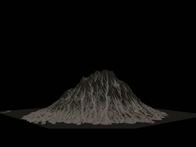
This video shows a visualization of the ETOPO1 Global Relief Model. Relief is exaggerated by a factor 100. Credits for the earth ...
85,150 views
10y ago
164 views
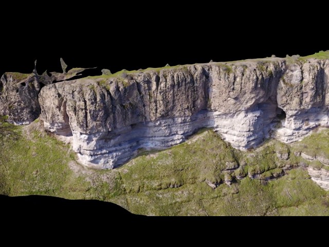
3D Terrain Visualization from an abandoned mine using UAV Aerial Imagery -Gerakini Greece.
133 views
8y ago
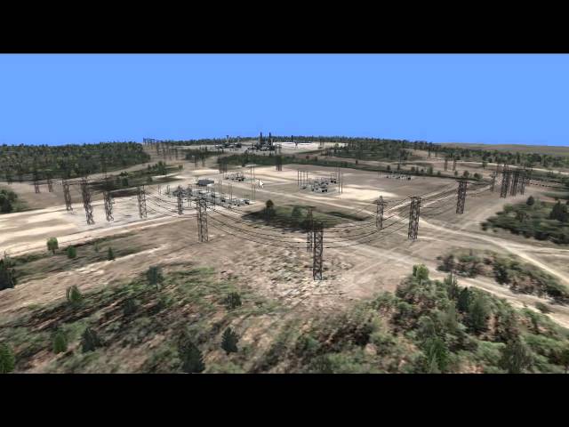
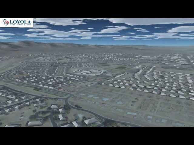
Loyola used high resolution imagery and elevation source data with Presagis content creation software tools to generate and ...
75 views
13y ago
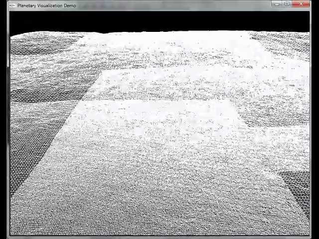
Implementation of Chunked LOD terrain rendering algorithm on 150x150 cm resolution lunar DTM.
622 views
14y ago
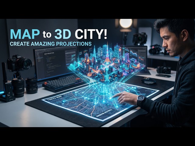
Learn How to Create 3D Terrain Maps Free using Google Maps in this Blender Tutorial! The first 500 people who click the link in ...
2,314,293 views
6y ago
Want to create realistic 3D terrain without modeling everything from scratch? Topo Export lets you work with topographic terrain ...
228 views
4w ago
4 subscribers
ISS Foresight : http://www.iss3d.com.
914 views
16y ago
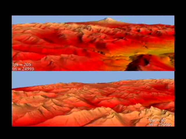
Visualization and Multimedia Lab, University of Zürich X. Bao, R. Pajarola and M. Shafae. "SMART: An Efficient Technique for ...
265 views
15y ago
Ultra high-resolution 3D terrain models produced by modern photogrammetric software from aerial imagery captured by UAV is ...
2,933 views
9y ago
Damon Conover gives an overview of an Army Research Lab generated software innovation that provides a superior terrain ...
41 views
137 views
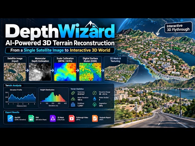
DepthWizard – Single-View Height Estimation and 3D Flythrough DepthWizard is an AI-powered geospatial reconstruction system ...
163 views
3w ago
Download Holo Terrain from Windows Store for Hololens. Explore our beautiful planet like never before.
2,937 views
... areas of lit up terrain and shadowy terrain into your model so it's really a visualization tool rather than an analysis tool you take a ...
970 views
Hey everyone this is Bren from avatech and uh just want to walk you through a quick tutorial on our maps and terrain visualization ...
372 views
This video has been developed at the VISGRAF Laboratory (IMPA).
63 views