ViewTube

ViewTube
Sign inSign upSubscriptions
Filters

Upload date

Type

Duration

Sort by

Features

Reset

15,703 results

GeoMap Atlas
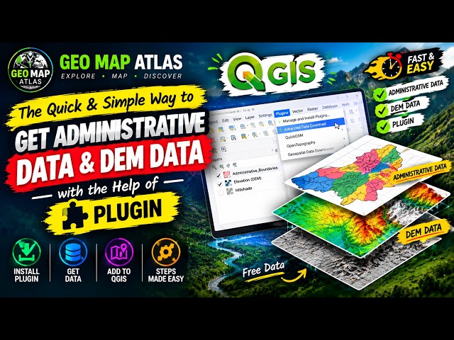
How to Get Administrative Data & DEM in QGIS Using a Plugin | Beginner Tutorial

Need administrative boundaries and elevation data for your GIS project? This QGIS trick makes it easier! In this tutorial, I'll show ...

3:49
How to Get Administrative Data & DEM in QGIS Using a Plugin | Beginner Tutorial

1 view

42 min ago

GeoMap Atlas
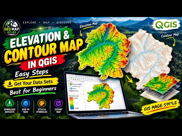
QGIS Tutorial for Beginners: Create Elevation & Contour Maps from Scratch 🤯

Want to create professional elevation and contour maps in QGIS? Start here! In this tutorial from **Geo Map Atlas**, learn how to ...

7:59
QGIS Tutorial for Beginners: Create Elevation & Contour Maps from Scratch 🤯

24 views

1d ago

GeoMap Atlas
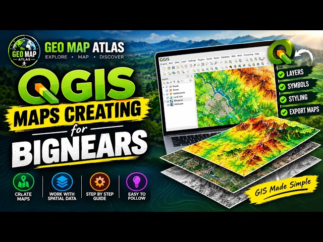
Learn QGIS in 10 Minutes! Create Your First GIS Map

Want to learn GIS mapping? Start with QGIS!** Welcome to **Geo Map Atlas**! In this beginner-friendly tutorial, you'll discover ...

10:29
Learn QGIS in 10 Minutes! Create Your First GIS Map

53 views

4d ago

GeoMap Atlas
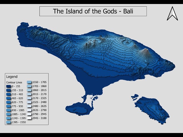
Bali in 3D map 🌴🤯 | Stunning 3D Elevation Map of Bali #qgis

Discover the beautiful island of Bali, Indonesia, in stunning 3D! Explore Bali's incredible terrain, mountainous landscapes, ...

1:21
Bali in 3D map 🌴🤯 | Stunning 3D Elevation Map of Bali #qgis

6 views

4d ago

GeoMapStories

113K subscribers

Geo Map-Official

70K subscribers

GeoMap Atlas

337 subscribers

GeoMap Unveiled

46.9K subscribers

Geo Map Animations

23.4K subscribers

Geo.Map.Official

73.1K subscribers

GeoMaps

65.9K subscribers

GeoMystery Atlas

1 subscribers

Atlas
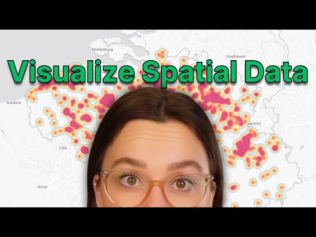
How to Visualize Spatial Data in GIS: Best Map Types & Techniques

Want to make better GIS maps? Choosing the right visualization method is key to making your spatial data clear, readable, and ...

10:41
How to Visualize Spatial Data in GIS: Best Map Types & Techniques

1,770 views

1y ago

UTM Geo Map

4.29K subscribers