Upload date
All time
Last hour
Today
This week
This month
This year
Type
All
Video
Channel
Playlist
Movie
Duration
Short (< 4 minutes)
Medium (4-20 minutes)
Long (> 20 minutes)
Sort by
Relevance
Rating
View count
Features
HD
Subtitles/CC
Creative Commons
3D
Live
4K
360°
VR180
HDR
36,092 results
... validation, and data transformation. - **MapLibre GL JS:** Delivering spatial data to interactive web maps using vector tiles.
96 views
13d ago
Link to this course: ...
290 views
5y ago
sf is one of the most important R packages for working with spatial and geographic data. In this video by Uplatz, we explain how sf ...
34 views
1mo ago
Damian Spangrud, Esri Director of Solutions and Danny Spillmann, Dir. for Nat. Resources, discuss the concepts of Big Data and ...
819 views
8y ago
Welcome to Afeez Azeez Geospatial Academy, a platform dedicated to surveying, GIS, remote sensing, photogrammetry, UAV ...
179 views
3mo ago
For information about this video content, please see the Devtoberfest enablement topic page for SAP HANA here ...
956 views
6y ago
sp is one of the foundational R packages for working with spatial data and helped establish many of the conventions later used ...
37 views
Marine Spatial Data Infrastructure for Marine Spatial Planning.
522 views
7y ago
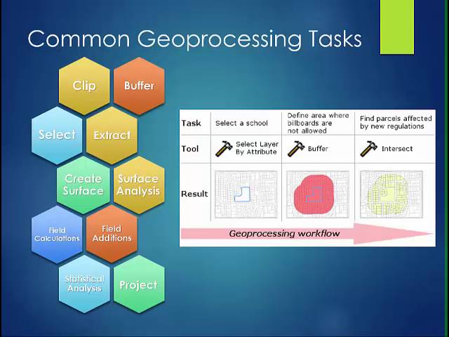
... makes G is so powerful geoprocessing is based on a framework of data transformation a typical geoprocessing tool performs an ...
1,452 views
10y ago
Learn how the Fourier Transform connects the spatial and frequency domains in image processing. Understand convolution ...
710 views
7mo ago
This video is part of MANTRA, the Research Data Management free online course created by the University of Edinburgh Data ...
5,381 views
12y ago
How can businesses go from resource-intensive geospatial data processes to fast-and-easy data unification, pattern detection, ...
107 views
3y ago
Visit the Q-Tips learning platform for practical QGIS courses: https://q-tips.co.za The Coordinate Reference Systems excerpt from a ...
31,179 views
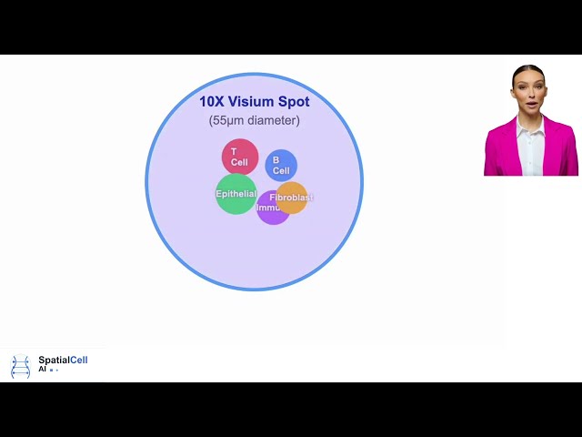
SpatialCell AI transforms standard spot-based spatial data into true single-cell resolution - with no additional experiments required ...
147 views
1y ago
Dive deep into the world of Coordinate Systems and Map Projections in Geographic Information Systems (GIS) with this detailed ...
371 views
2y ago
Welcome back, everyone. In this video I go over how to use spatialGE - a web application designed in our lab to perform spatial ...
552 views
In this tutorial, we explore Spatial Transformer Networks (STNs), a powerful tool that allows a neural network to actively transform ...
299 views
9mo ago
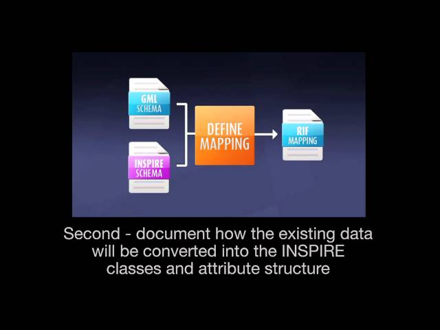
IINSPIRE SCHEMA TRANSFORMATION NETWORK SERVICE (ENGLISH)
2,592 views
14y ago
Data silos, disconnected systems, and fragmented insights continue to hold organizations back from realizing the full value of their ...
227 views
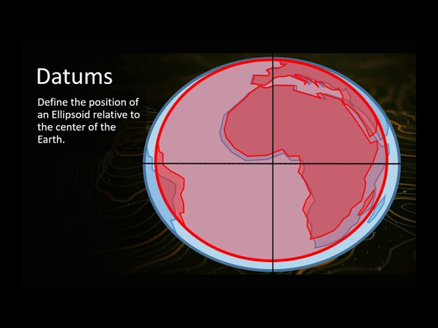
In this video we explain the basic concepts behind geodetic datums, where they are used, and why it is important to know about ...
255,328 views