

Info
Welcome to the official YouTube channel of vGIS Inc. (https://www.vGIS.io) - Leading #AI and #AR #AugmentedReality -enabled #Construction #Coordination #Platform.

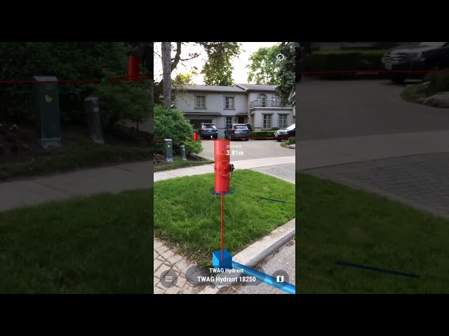
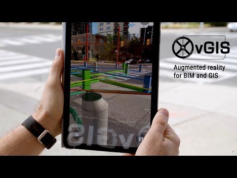
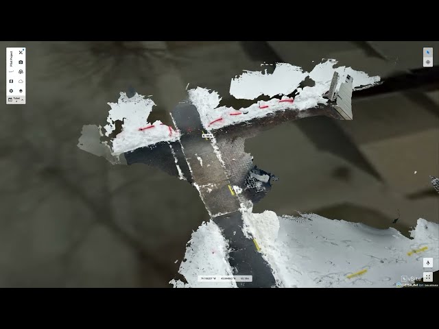
vGIS redefines infrastructure construction and maintenance tasks to reduce costly delays, errors and rework. vGIS is an integrated 3D Digital Twin powered by AI and highly accurate Augmented Reality. The system is purpose-built for infrastructure projects to create a Common Data Environment (#CDE). It brings all spatial data, including #BIM, #GIS, point clouds and issue reports, into a unified, always up-to-date 3D view of the construction site accessible 24/7 to all stakeholders on any device.

vGIS Inc. is an award-winning partner of Autodesk, Esri, Leica Geosystems and Microsoft, and a recipient of the ESRI Partner Award (2023, 2019) and Microsoft’s Partner of the Year Finalist 3 years in a row (2020, 2019, 2018).
Links
Stats
Joined October 12, 2017
565,055 total views
United States
Featured video
Videos
Shorts
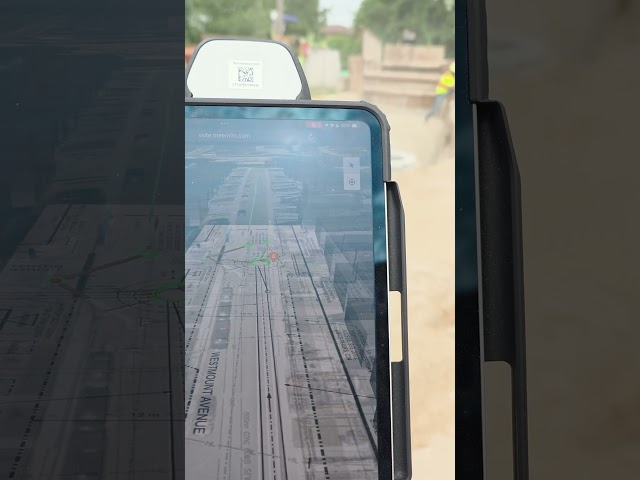
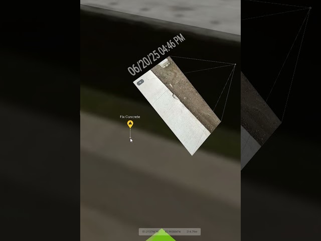
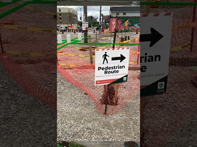
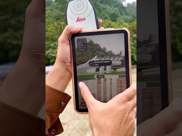


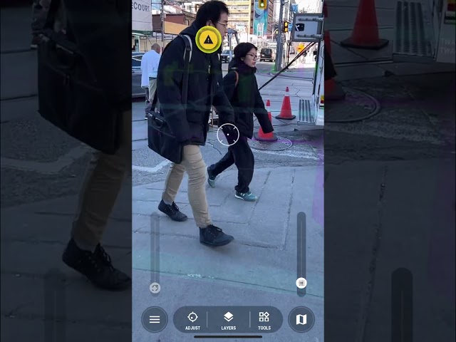
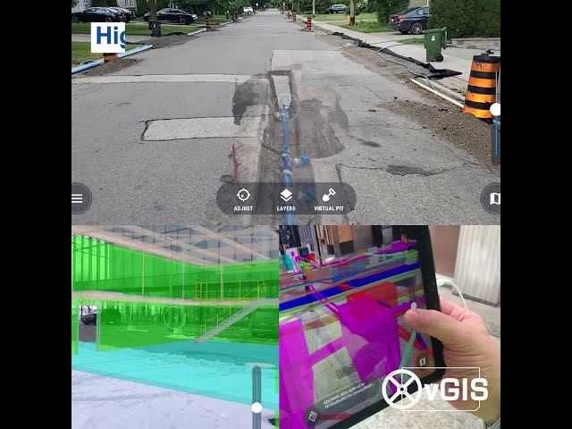
This Is How You Simplify City Construction
1,000 views
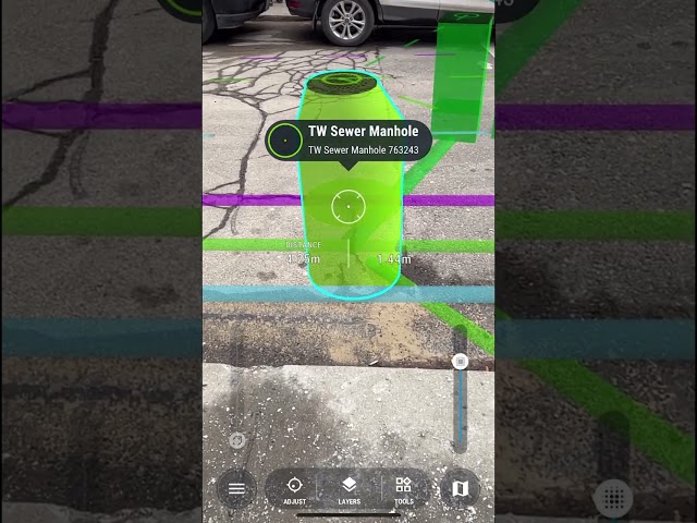
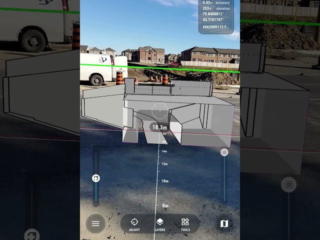
Visualize Large Construction Projects In AR
3,800 views
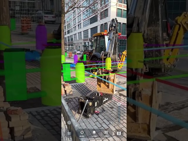
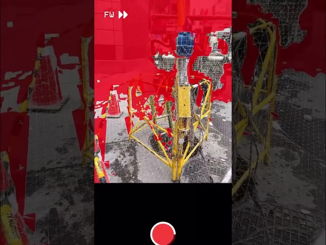
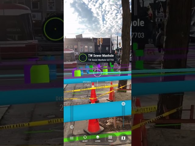
Visualizing City Infrastructure
1,200 views
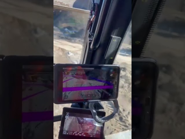
Operating AR Hands Free with Heavy Machinery
2,700 views
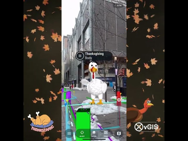
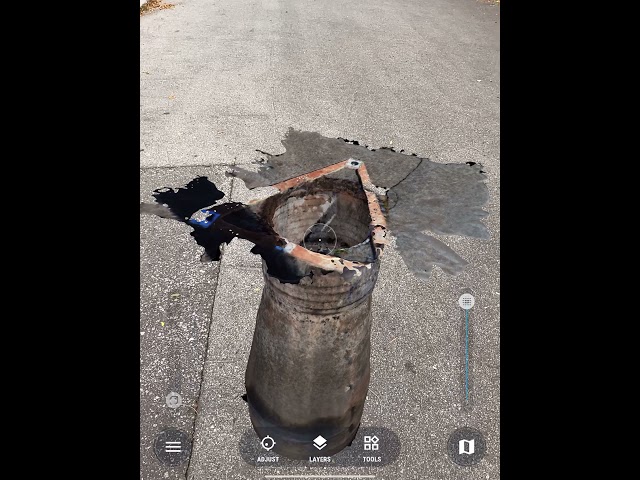
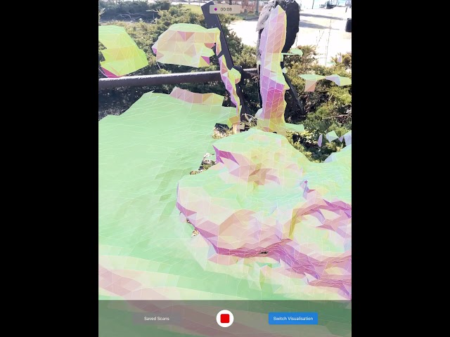
vGIS - 2020 iPad Pro test (LiDAR)
14,000 views
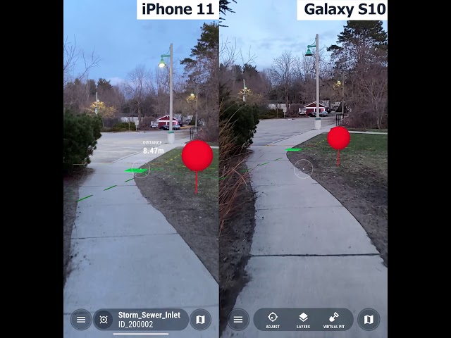
vGIS - 2020 iPad Pro test
10,000 views